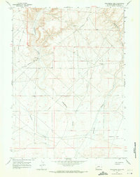
1968 Map of Twelvemile Sink
USGS Topo · Published 1971About this map
Twelvemile Sink dominates the southeastern topography of this high desert terrain in Sweetwater County. The 1968 landscape is defined by the deep incisions of Eighteenmile Canyon, Twelvemile Canyon, and Buckhorn Canyon, which carve through the arid plateau. Human presence is sparse, centered primarily on transportation and vital water access points. The Lincoln Sweetwater Road and Monument Butte Road provide the primary routes through this remote area, while isolated infrastructure such as the Eighteenmile Well, a Flowing Well, and a Drill Hole point to the critical importance of sub-surface resources and early land management in the Wyoming backcountry. The map captures a moment in the late 1960s before modern developments, showing the raw drainage patterns and elevations of the Great Divide Basin vicinity.
Find a feature on this map
9 named features on this map. Tap any name to fly to it.
Don’t see what you’re looking for? This feature index may not catch every label — zoom into the map to look around manually.
Map Details
Editions of this 1968 Twelvemile Sink Map
2 editions found
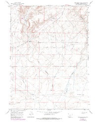
Other maps of this area

1954 · Rock Springs
USGS Topo · 1:250,000

1955 · Lander
USGS Topo · 1:250,000

1958 · Lander
USGS Topo · 1:250,000

1958 · Rock Springs
USGS Topo · 1:250,000

1961 · Lander
USGS Topo · 1:250,000

1962 · Rock Springs
USGS Topo · 1:250,000

1963 · Gasson Bridge
USGS Topo · 1:24,000
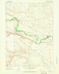
1963 · Mc Cullen Bluff
USGS Topo · 1:24,000
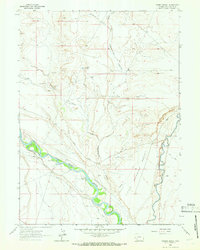
1963 · Thoman School
USGS Topo · 1:24,000

1968 · Twelvemile Knoll
USGS Topo · 1:24,000