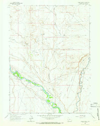
1963 Map of Thoman School
USGS Topo · Published 1966About this map
The Green River and Big Sandy River converge in this arid stretch of the Little Colorado Desert, marking a landscape defined by water management and historic river crossings. The presence of the Lombard Ferry (Site) on the Green River points to a legacy of westward transit, while the Thoman Sch and Hawley Ranch indicate a small but persistent agricultural footprint in the early 1960s.
Find a feature on this map
19 named features on this map. Tap any name to fly to it.
Don’t see what you’re looking for? This feature index may not catch every label — zoom into the map to look around manually.
Map Details
Editions of this 1963 Thoman School Map
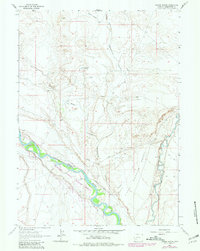
2 editions found
Other maps of this area

1954 · Rock Springs
USGS Topo · 1:250,000

1955 · Lander
USGS Topo · 1:250,000

1958 · Lander
USGS Topo · 1:250,000

1958 · Rock Springs
USGS Topo · 1:250,000

1961 · Lander
USGS Topo · 1:250,000

1962 · Rock Springs
USGS Topo · 1:250,000

1963 · Gasson Bridge
USGS Topo · 1:24,000

1963 · Big Island Bridge
USGS Topo · 1:24,000
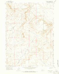
1963 · Whiskey Buttes
USGS Topo · 1:24,000
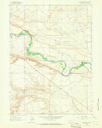
1963 · Mc Cullen Bluff
USGS Topo · 1:24,000