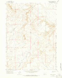
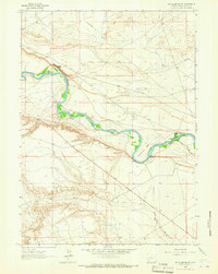
1963 Map of Whiskey Buttes
USGS Topo · Published 1966About this map
Whiskey Buttes rise above a landscape defined by an intricate network of drainage systems and high-desert terrain in Sweetwater County. Published in the 1960s, this survey highlights the era's reliance on rudimentary transport links, including the Lombard Road and various Jeep Trails that cross the arid basin. The hydrological character of the region is well-documented, with seasonal waterways such as Little Dry Creek, Dry Creek, and the Yellow Point Fork carving distinct paths through the topography. Notable geological features like Sevenmile Gulch and West Otterson Wash provide specific landmarks for understanding the natural drainage patterns that have shaped this portion of Wyoming. The map captures a moment when human infrastructure was limited to these essential tracks and trails.
Find a feature on this map
8 named features on this map. Tap any name to fly to it.
Don’t see what you’re looking for? This feature index may not catch every label — zoom into the map to look around manually.
Map Details
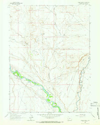
Editions of this 1963 Whiskey Buttes Map
2 editions found
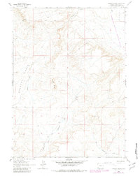
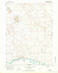
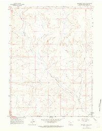
Other maps of this area

1954 · Ogden
USGS Topo · 1:250,000

1954 · Rock Springs
USGS Topo · 1:250,000

1958 · Ogden
USGS Topo · 1:250,000

1958 · Rock Springs
USGS Topo · 1:250,000

1960 · Ogden
USGS Topo · 1:250,000
1961 · Blue Point
USGS Topo · 1:24,000
1961 · Sevenmile Gulch
USGS Topo · 1:24,000

1962 · Rock Springs
USGS Topo · 1:250,000
1963 · Mc Cullen Bluff
USGS Topo · 1:24,000
1963 · Thoman School
USGS Topo · 1:24,000