
1961 Map of Sevenmile Gulch
USGS Topo · Published 1964About this map
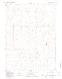
Emigrant Trail and Overland Trail intersect this high-desert landscape in Sweetwater County, marking a vital corridor for westward expansion. The terrain is characterized by the long, winding course of Sevenmile Gulch, which cuts through the arid basins and plateaus typical of this region of Wyoming. The lack of permanent settlements on the map underscores the isolation of this environment, where the primary human footprint beyond the historical trails is a modern Pipeline cutting across the southern sections. For researchers, this 1961 field-checked survey provides a precise look at the overlapping paths of famous pioneer routes before modern development significantly altered the surface features of the trail remnants.
Find a feature on this map
8 named features on this map. Tap any name to fly to it.
Don’t see what you’re looking for? This feature index may not catch every label — zoom into the map to look around manually.
Map Details
Editions of this 1961 Sevenmile Gulch Map
2 editions found
Other maps of this area

1954 · Ogden
USGS Topo · 1:250,000

1954 · Rock Springs
USGS Topo · 1:250,000

1958 · Ogden
USGS Topo · 1:250,000

1958 · Rock Springs
USGS Topo · 1:250,000

1960 · Ogden
USGS Topo · 1:250,000

1961 · Blue Point
USGS Topo · 1:24,000

1961 · Little America
USGS Topo · 1:24,000

1961 · Granger
USGS Topo · 1:24,000

1962 · Rock Springs
USGS Topo · 1:250,000
1963 · Whiskey Buttes
USGS Topo · 1:24,000