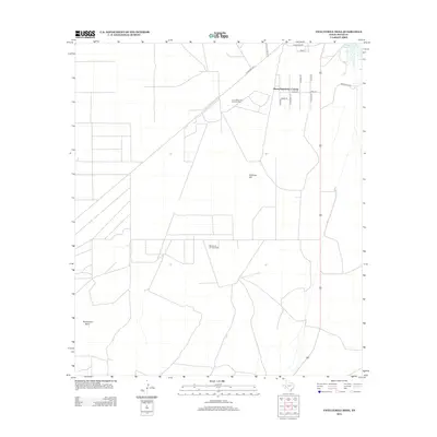
2012 Map of Twelvemile Mesa
USGS Topo · Published 2012About this map
The industrial energy landscape of Pecos County is prominently displayed through the extensive Leon Valley Oil and Gas Field and Belding Oil and Gas Field. These extraction zones dominate the central and northern sections of the map, illustrating the importance of petroleum and natural gas resources in this part of West Texas during the early 21st century. The residential footprint is primarily concentrated in the Alamo Ranchettes Colonia, a settlement defined by a grid of streets including Alamo Rd and N Travis St.
Find a feature on this map
19 named features on this map. Tap any name to fly to it.
Don’t see what you’re looking for? This feature index may not catch every label — zoom into the map to look around manually.
Map Details
Editions of this 2012 Twelvemile Mesa Map
This is the sole edition of this map. No revisions or reprints were ever made.
Other maps of this area
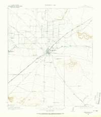
1921 · Fort Stockton
USGS Topo · 1:62,500
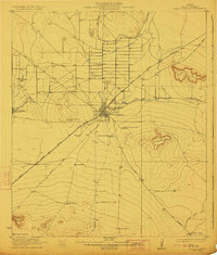
1923 · Fort Stockton
USGS Topo · 1:62,500
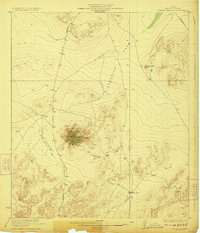
1923 · Sierra Madera
USGS Topo · 1:62,500
1928 · Comanche Spring
USGS Topo · 1:125,000
1929 · Hovey
USGS Topo · 1:125,000

1954 · Fort Stockton
USGS Topo · 1:250,000
1958 · Fort Stockton
USGS Topo · 1:250,000
1970 · Fort Stockton West
USGS Topo · 1:24,000
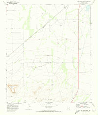
1970 · Twelvemile Mesa
USGS Topo · 1:24,000
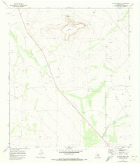
1970 · Fivemile Mesa
USGS Topo · 1:24,000