
1970 Map of Twelvemile Mesa
USGS Topo · Published 1973About this map
The Leon Valley petroleum landscape of West Texas is defined here by the extensive industrial infrastructure of the early 1970s. This survey documents a critical intersection of transportation and energy, where the Atchison Topeka and Santa Fe railroad tracks cut a diagonal path through the Leon Valley Oil and Gas Field. The map reveals a dense network of extraction points, including numerous Oil Wells, a specific Division Well, and scattered Drill Holes, illustrating the intensive exploration of the era.
Find a feature on this map
13 named features on this map. Tap any name to fly to it.
Don’t see what you’re looking for? This feature index may not catch every label — zoom into the map to look around manually.
Map Details
Editions of this 1970 Twelvemile Mesa Map
This is the sole edition of this map. No revisions or reprints were ever made.
Other maps of this area

1921 · Fort Stockton
USGS Topo · 1:62,500

1923 · Fort Stockton
USGS Topo · 1:62,500

1923 · Sierra Madera
USGS Topo · 1:62,500

1928 · Comanche Spring
USGS Topo · 1:125,000

1929 · Hovey
USGS Topo · 1:125,000

1954 · Fort Stockton
USGS Topo · 1:250,000

1958 · Fort Stockton
USGS Topo · 1:250,000

1970 · Fort Stockton West
USGS Topo · 1:24,000
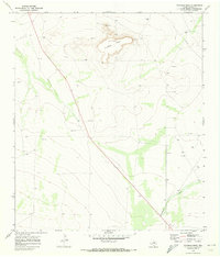
1970 · Fivemile Mesa
USGS Topo · 1:24,000
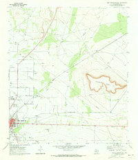
1970 · Fort Stockton East
USGS Topo · 1:24,000