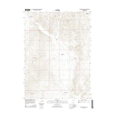
2015 Map of Twelvemile Ranch
USGS Topo · Published 2015About this map
Twelvemile Ranch anchors this high-desert landscape in Elko County, situated near the convergence of Thousand Springs Creek and Crittenden Creek. The 2015 survey reveals a terrain defined by significant drainage systems and ridgelines, particularly where the Goose Creek Mountains rise in the northeast. The name Twelvemile Canyon appears twice—both as a prominent physical feature and as a designated road, tracing the natural path of the water through the hills. To the south, Red Hot Spring offers a rare hydrographic landmark in this arid basin. This map serves as an essential record of rural Nevada ranching infrastructure, documenting the remote access roads like CR-765 and CR-766 that connect these isolated water sources and homesteads across the townships of T41N and T42N.
Find a feature on this map
16 named features on this map. Tap any name to fly to it.
Don’t see what you’re looking for? This feature index may not catch every label — zoom into the map to look around manually.
Map Details
Editions of this 2015 Twelvemile Ranch Map
This is the sole edition of this map. No revisions or reprints were ever made.
Other maps of this area

1955 · Wells
USGS Topo · 1:250,000

1958 · Wells
USGS Topo · 1:250,000

1961 · Wells
USGS Topo · 1:250,000
1961 · Delano Mountains
USGS Topo · 1:62,500
1961 · Dairy Valley
USGS Topo · 1:62,500
1967 · Jackson Spring
USGS Topo · 1:24,000
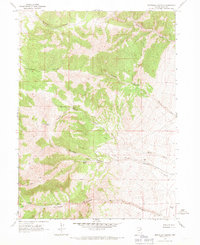
1967 · Montello Canyon
USGS Topo · 1:24,000
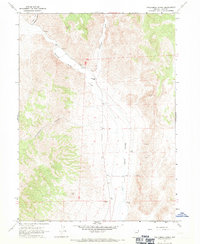
1967 · Twelvemile Ranch
USGS Topo · 1:24,000
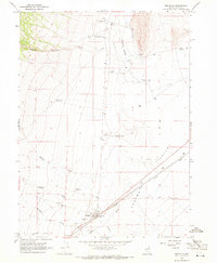
1967 · Montello
USGS Topo · 1:24,000
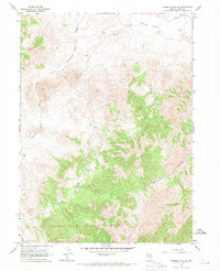
1967 · Ninemile Mtn NE
USGS Topo · 1:24,000