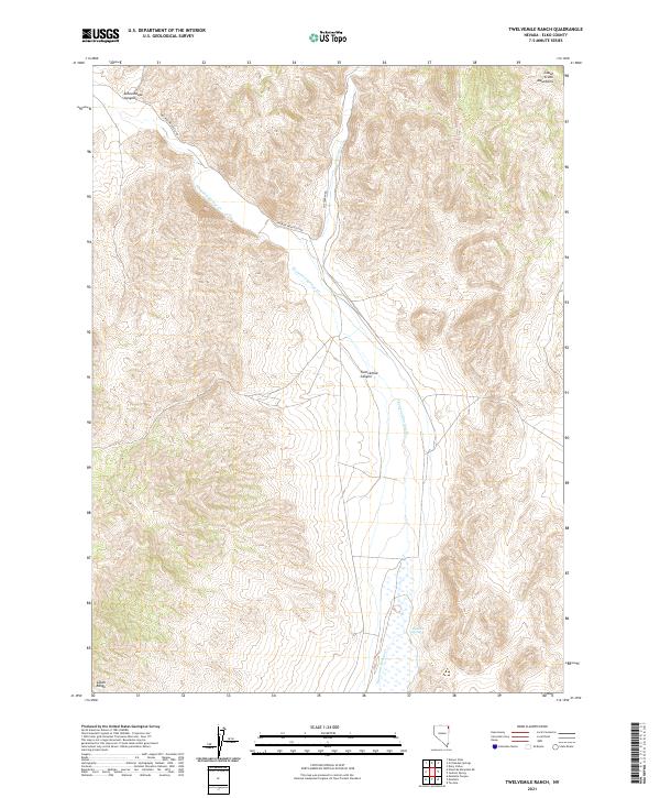
2021 Map of Twelvemile Ranch
USGS Topo · Published 2021About this map
Thousand Springs Creek cuts a diagonal path through this corner of Elko County, defining the drainage patterns of a landscape bounded by the Goose Creek Mountains to the north and the Leach Range to the south. This 2021 survey illustrates the sparse but critical water infrastructure of the high desert, centered on the Red Hot Spring and the confluence of Crittenden Creek. The terrain is characterized by deep erosional features like Twelvemile Canyon and Schoolhouse Canyon, which dictate the paths of the few arterial routes in the region.
Find a feature on this map
15 named features on this map. Tap any name to fly to it.
Don’t see what you’re looking for? This feature index may not catch every label — zoom into the map to look around manually.
Map Details
Editions of this 2021 Twelvemile Ranch Map
This is the sole edition of this map. No revisions or reprints were ever made.
Other maps of this area

1955 · Wells
USGS Topo · 1:250,000

1958 · Wells
USGS Topo · 1:250,000

1961 · Wells
USGS Topo · 1:250,000

1961 · Delano Mountains
USGS Topo · 1:62,500

1961 · Dairy Valley
USGS Topo · 1:62,500

1967 · Jackson Spring
USGS Topo · 1:24,000

1967 · Montello Canyon
USGS Topo · 1:24,000

1967 · Twelvemile Ranch
USGS Topo · 1:24,000

1967 · Montello
USGS Topo · 1:24,000

1967 · Ninemile Mtn NE
USGS Topo · 1:24,000