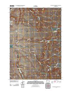
2011 Map of Twelvemile Reservoir
USGS Topo · Published 2011About this map
Twelve Mile Reservoir sits at the heart of this high-desert ranching landscape in Crook County. The drainage patterns are defined by the convergence of Twelvemile Creek and Black Snag Creek, with water resources being the critical anchor for local life as evidenced by the Baker Ranch and Berger Ranch settlements. The terrain is marked by distinct geological formations, ranging from the prominent Grindstone Rim in the north to the tiered elevations of Humboldt Ridge and Corral Ridge in the south.
Find a feature on this map
27 named features on this map. Tap any name to fly to it.
Don’t see what you’re looking for? This feature index may not catch every label — zoom into the map to look around manually.
Map Details
Editions of this 2011 Twelvemile Reservoir Map
This is the sole edition of this map. No revisions or reprints were ever made.
Other maps of this area
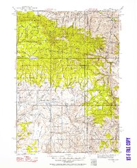
1932 · Dayville
USGS Topo · 1:125,000
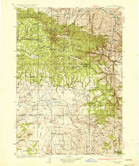
1936 · Dayville
USGS Topo · 1:125,000

1955 · Burns
USGS Topo · 1:250,000

1955 · Canyon City
USGS Topo · 1:250,000

1958 · Burns
USGS Topo · 1:250,000

1959 · Burns
USGS Topo · 1:250,000

1959 · Canyon City
USGS Topo · 1:250,000
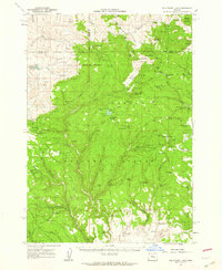
1961 · Delintment Lake
USGS Topo · 1:62,500
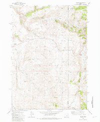
1981 · Suplee
USGS Topo · 1:24,000
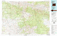
1981 · Dayville
USGS Topo · 1:100,000