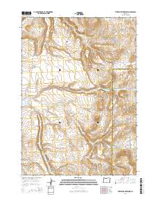
2014 Map of Twelvemile Reservoir
USGS Topo · Published 2014About this map
Grindstone Rim and Walker Ridge dominate this high-desert landscape in central Oregon, where the terrain is defined by dramatic volcanic features and essential water management. The boundary between Crook County and Harney County runs through the eastern portion of the map, intersecting the path of Twelvemile Creek. This arid environment relies on several man-made and natural water sources, including the centrally located Twelve Mile Reservoir and the more isolated Lillard Reservoir to the south. Land use is largely determined by these scarce water points and the elevation changes of landmarks like Three Buttes and Coffee Butte. Significant drainages such as Norcross Creek and Black Snag Creek carve through the ridges, while remote tracks like Old Berger Road provide the only established access through this sparsely inhabited segment of the high country.
Find a feature on this map
25 named features on this map. Tap any name to fly to it.
Don’t see what you’re looking for? This feature index may not catch every label — zoom into the map to look around manually.
Map Details
Editions of this 2014 Twelvemile Reservoir Map
This is the sole edition of this map. No revisions or reprints were ever made.
Other maps of this area
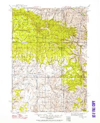
1932 · Dayville
USGS Topo · 1:125,000
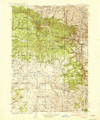
1936 · Dayville
USGS Topo · 1:125,000

1955 · Burns
USGS Topo · 1:250,000

1955 · Canyon City
USGS Topo · 1:250,000

1958 · Burns
USGS Topo · 1:250,000

1959 · Burns
USGS Topo · 1:250,000

1959 · Canyon City
USGS Topo · 1:250,000
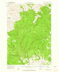
1961 · Delintment Lake
USGS Topo · 1:62,500
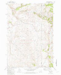
1981 · Suplee
USGS Topo · 1:24,000
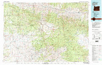
1981 · Dayville
USGS Topo · 1:100,000