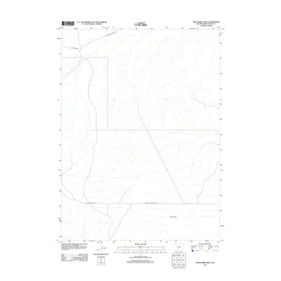
2012 Map of Twelvemile Well
USGS Topo · Published 2012About this map
Tenmile Flat dominates the southeastern quadrant of this Sweetwater County landscape, where the high desert terrain is defined by a network of intermittent drainages and sparse transportation routes. The area is characterized by its wide-open expanses, intersected by critical transit links such as Bitter Creek Rd and Black Rock Flat Rd. These roads, along with the Black Rock Connector Rd, provide the primary access through this part of the Red Desert, illustrating the remote and arid nature of the Wyoming interior in the early 21st century. The map serves as a detailed record of the physical geography before significant modern infrastructure alterations, showing the subtle elevation changes and the dry watercourses that define the region's hydrology.
Find a feature on this map
4 named features on this map. Tap any name to fly to it.
Don’t see what you’re looking for? This feature index may not catch every label — zoom into the map to look around manually.
Map Details
Editions of this 2012 Twelvemile Well Map
This is the sole edition of this map. No revisions or reprints were ever made.
Other maps of this area

1954 · Rock Springs
USGS Topo · 1:250,000

1958 · Rock Springs
USGS Topo · 1:250,000
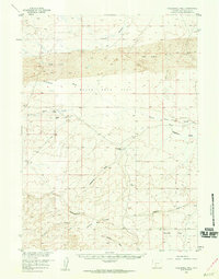
1958 · Twelvemile Well
USGS Topo · 1:62,500
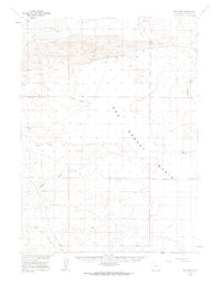
1960 · Red Lake
USGS Topo · 1:62,500

1962 · Rock Springs
USGS Topo · 1:250,000
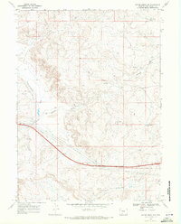
1968 · Bitter Creek NW
USGS Topo · 1:24,000
1968 · Bitter Creek NE
USGS Topo · 1:24,000
1970 · Desert Springs
USGS Topo · 1:24,000
1980 · Red Desert Basin
USGS Topo · 1:100,000
1986 · Black Rock Flat East
USGS Topo · 1:24,000