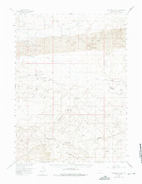
1958 Map of Twelvemile Well
USGS Topo · Published 1975About this map
The Continental Divide winds through this high-altitude landscape of Sweetwater County, Wyoming, as it was surveyed in the late 1950s. The terrain is a complex arrangement of dry basins and elevated flats, characterized by the expansive Black Rock Flat and the depressions of Alkali Basin. A rare and vital water source for the region is found at Twelvemile Well, an artesian spring located near the head of Twelvemile Gulch.
Find a feature on this map
15 named features on this map. Tap any name to fly to it.
Don’t see what you’re looking for? This feature index may not catch every label — zoom into the map to look around manually.
Map Details
Editions of this 1958 Twelvemile Well Map
2 editions found
Other maps of this area

1954 · Rock Springs
USGS Topo · 1:250,000

1955 · Lander
USGS Topo · 1:250,000

1958 · Lander
USGS Topo · 1:250,000

1958 · Rock Springs
USGS Topo · 1:250,000

1958 · Twelvemile Well
USGS Topo · 1:62,500

1958 · Freighter Gap
USGS Topo · 1:62,500

1958 · The Pinnacles
USGS Topo · 1:62,500

1958 · Superior
USGS Topo · 1:62,500

1960 · Red Lake
USGS Topo · 1:62,500

1960 · Five Fingers Butte
USGS Topo · 1:62,500