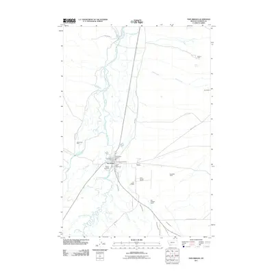
2011 Map of Twin Bridges
USGS Topo · Published 2011About this map
Twin Bridges sits at the headwaters of the Jefferson River, where several major Montana watercourses converge. This 2011 survey illustrates a landscape defined by its intricate hydrological network, including the Big Hole River, Beaverhead River, and Ruby River. The town serves as a local hub for agriculture and transportation, evidenced by the Madison County Fairgrounds and the Twin Bridges Airport.
Find a feature on this map
47 named features on this map. Tap any name to fly to it.
Don’t see what you’re looking for? This feature index may not catch every label — zoom into the map to look around manually.
Map Details
Editions of this 2011 Twin Bridges Map
This is the sole edition of this map. No revisions or reprints were ever made.
Other maps of this area

1893 · Dillon
USGS Topo · 1:250,000

1955 · Dillon
USGS Topo · 1:250,000

1957 · Dillon
USGS Topo · 1:250,000

1958 · Dillon
USGS Topo · 1:250,000

1960 · Twin Bridges
USGS Topo · 1:62,500

1960 · Waterloo
USGS Topo · 1:62,500

1962 · Dillon
USGS Topo · 1:250,000
1962 · Beaverhead Rock
USGS Topo · 1:24,000
1962 · Beaverhead Rock NE
USGS Topo · 1:24,000
1963 · Sheridan
USGS Topo · 1:24,000