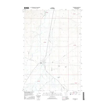
2017 Map of Twin Bridges
USGS Topo · Published 2017About this map
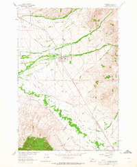
Twin Bridges serves as the focal point of this 2017 survey, situated at the unique confluence where the Big Hole River and Beaverhead River join to form the Jefferson River. This hydrologic knot is further complicated by the arrival of the Ruby River from the south, creating a rich network of braided channels and sloughs. The landscape is heavily defined by an intricate system of water management, evidenced by features like the Seyler-Tash Ditch, Tash Drain Ditch, and Eastman Ditch that crisscross the valley floor.
Find a feature on this map
51 named features on this map. Tap any name to fly to it.
Don’t see what you’re looking for? This feature index may not catch every label — zoom into the map to look around manually.
Map Details
Editions of this 2017 Twin Bridges Map
This is the sole edition of this map. No revisions or reprints were ever made.
Other maps of this area
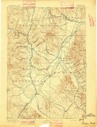
1893 · Dillon
USGS Topo · 1:250,000

1955 · Dillon
USGS Topo · 1:250,000

1957 · Dillon
USGS Topo · 1:250,000
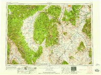
1958 · Dillon
USGS Topo · 1:250,000
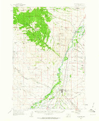
1960 · Twin Bridges
USGS Topo · 1:62,500
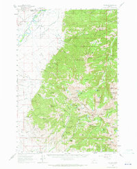
1960 · Waterloo
USGS Topo · 1:62,500
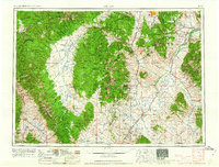
1962 · Dillon
USGS Topo · 1:250,000
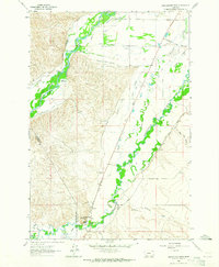
1962 · Beaverhead Rock
USGS Topo · 1:24,000
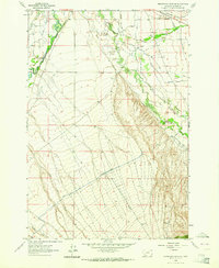
1962 · Beaverhead Rock NE
USGS Topo · 1:24,000
1963 · Sheridan
USGS Topo · 1:24,000