
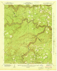
1943 Map of Twin Bridges
USGS Topo · Published 1965About this map
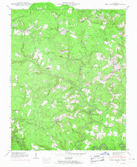
Deer Lodge stands as a focal point in this 1943 survey of the Cumberland Plateau, accompanied by the educational presence of the Deer Lodge Academy. The landscape is defined by the winding course of White Creek and Clear Creek, where transportation relied on traditional crossings like White Ford and Norris Ford. This era shows a distributed rural community connected by small schools such as Englewood Sch and Island Ford Sch, alongside numerous family and community burial grounds including Shadeland Cem and Bethel Cem. The reliance on local water power and resources is evident at Adkins Mill along Alexander Creek. The map provides a detailed view of the Tennessee Valley terrain just before mid-century modernization, capturing established settlements like Stowers and Twin Bridges amidst the heavily wooded ridges of the Divide.
Find a feature on this map
64 named features on this map. Tap any name to fly to it.
Don’t see what you’re looking for? This feature index may not catch every label — zoom into the map to look around manually.
Map Details
Editions of this 1943 Twin Bridges Map
4 editions found
Other maps of this area

1895 · Wartburg
USGS Topo · 1:125,000

1896 · Wartburg
USGS Topo · 1:125,000

1935 · Lancing
USGS Topo · 1:24,000

1935 · Pilot Mountain
USGS Topo · 1:24,000

1936 · Hebbertsburg
USGS Topo · 1:24,000

1936 · Fox Creek
USGS Topo · 1:24,000

1936 · Twin Bridges
USGS Topo · 1:24,000

1936 · Jones Knob
USGS Topo · 1:24,000
1943 · Hebbertsburg
USGS Topo · 1:24,000
1945 · Hebbertsburg
USGS Topo · 1:24,000