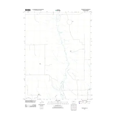
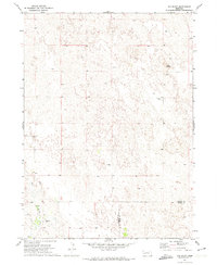
2011 Map of Twin Buttes
USGS Topo · Published 2011About this map
Blue Creek meanders through this portion of Garden County, serving as the central artery for a complex network of Nebraska irrigation. The landscape is defined by the cattle ranching and water management essential to the region, featuring prominent holdings like Olson Ranch and Delatour Ranch. Evidence of twentieth-century water engineering is visible throughout the southern reaches, where the Paisley Canal, Blue Creek Canal, and Hooper Canal divert flow across the plains. Significant infrastructure such as the Jackson-Paisley-Robinson Dam and Lobner Group Dam illustrate the intensive effort to harness seasonal water sources like Ash Creek for agricultural use. Named for the distinct topographic rises of Twin Buttes, the area remains characterized by its reliance on groundwater sources such as Rattlesnake Spring and Dugout Spring, which historically supported early settlement and stock raising in this section of the Sandhills.
Find a feature on this map
28 named features on this map. Tap any name to fly to it.
Don’t see what you’re looking for? This feature index may not catch every label — zoom into the map to look around manually.
Map Details
Editions of this 2011 Twin Buttes Map
This is the sole edition of this map. No revisions or reprints were ever made.
Other maps of this area
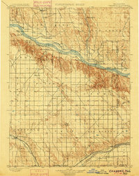
1900 · Chappell
USGS Topo · 1:125,000
1949 · Rackett
USGS Topo · 1:62,500
1950 · Crescent Lake
USGS Topo · 1:62,500
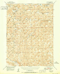
1951 · Rackett
USGS Topo · 1:62,500

1954 · Scottsbluff
USGS Topo · 1:250,000

1958 · Scottsbluff
USGS Topo · 1:250,000
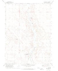
1971 · Twin Buttes
USGS Topo · 1:24,000
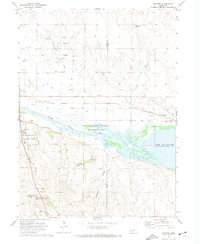
1971 · Ruthton
USGS Topo · 1:24,000
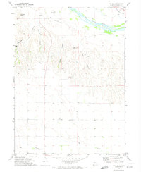
1971 · Barn Butte
USGS Topo · 1:24,000
1971 · Old Baldy
USGS Topo · 1:24,000