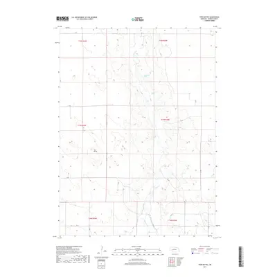
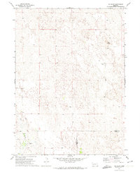
2017 Map of Twin Buttes
USGS Topo · Published 2017About this map
Blue Cr winds through the heart of this Garden County landscape, shaping a drainage system defined by natural springs and early 21st-century irrigation infrastructure. The eponymous Twin Buttes stand as prominent navigational landmarks in the western half of the quadrangle, rising above a network of section-line roads such as RD 193 and RD 70. This 2017 survey reveals the intersection of natural water sources like Rattlesnake Spring and Dugout Spring with an engineered landscape of water management. The southern reaches of the map show the convergence of the Blue Cr Canal, Hooper Canal, and Baisler Canal, illustrating the vital role of these waterways in supporting agricultural life on the high plains. The map provides a precise look at the township and range grid, including t17n r42w and t18n r43w, showing how property and infrastructure align with the legal land survey of Nebraska.
Find a feature on this map
27 named features on this map. Tap any name to fly to it.
Don’t see what you’re looking for? This feature index may not catch every label — zoom into the map to look around manually.
Map Details
Editions of this 2017 Twin Buttes Map
This is the sole edition of this map. No revisions or reprints were ever made.
Other maps of this area
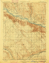
1900 · Chappell
USGS Topo · 1:125,000
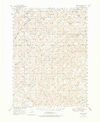
1949 · Rackett
USGS Topo · 1:62,500
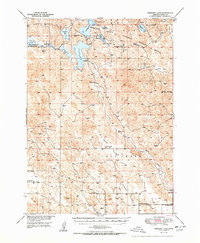
1950 · Crescent Lake
USGS Topo · 1:62,500
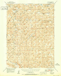
1951 · Rackett
USGS Topo · 1:62,500

1954 · Scottsbluff
USGS Topo · 1:250,000

1958 · Scottsbluff
USGS Topo · 1:250,000
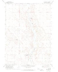
1971 · Twin Buttes
USGS Topo · 1:24,000
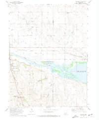
1971 · Ruthton
USGS Topo · 1:24,000
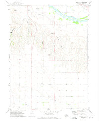
1971 · Barn Butte
USGS Topo · 1:24,000
1971 · Old Baldy
USGS Topo · 1:24,000