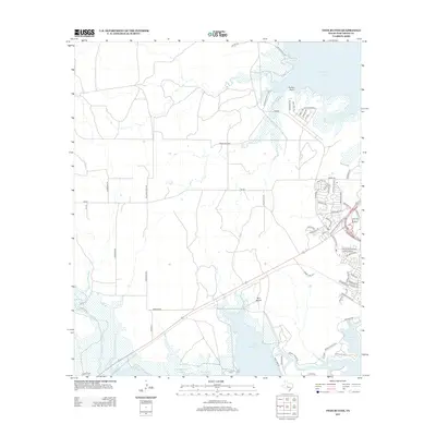
2013 Map of Twin Buttes
USGS Topo · Published 2013About this map
Twin Buttes Reservoir and the Middle Concho Riv dominate this West Texas landscape southwest of San Angelo. The 2013 survey illustrates a complex water management and recreation system, where the reservoir meets the northern edge of Lake Nasworthy. The map reveals a mixture of industrial and residential development, from the Pulliam Oil Field in the central plains to the clustered street names of the northeast, such as Loch Lomond Rd and Bagpipe Rd. Prominent terrain markers like Pulliam Point and the namesake Twin Buttes provide significant landmarks above the surrounding basin. This edition details an extensive rural road network, including Pulliam Ranch Rd and Willeke Pit Rd, which service the ranching and petroleum interests defining the local economy at the time of the survey.
Find a feature on this map
66 named features on this map. Tap any name to fly to it.
Don’t see what you’re looking for? This feature index may not catch every label — zoom into the map to look around manually.
Map Details
Editions of this 2013 Twin Buttes Map
This is the sole edition of this map. No revisions or reprints were ever made.
Other maps of this area

1891 · Hayrick
USGS Topo · 1:125,000

1892 · San Angelo
USGS Topo · 1:125,000

1894 · Hayrick
USGS Topo · 1:125,000

1895 · Sherwood
USGS Topo · 1:125,000

1924 · San Angelo 2-c
USGS Topo · 1:48,000

1924 · Sherwood 1-d
USGS Topo · 1:48,000

1924 · San Angelo 2-b
USGS Topo · 1:48,000

1924 · Sherwood 1-a
USGS Topo · 1:48,000

1928 · Wall
USGS Topo · 1:62,500

1928 · Tankersly
USGS Topo · 1:62,500