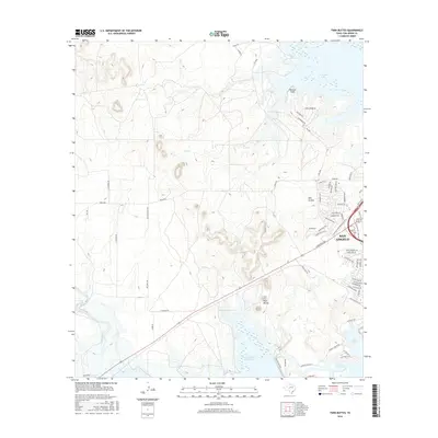
2016 Map of Twin Buttes
USGS Topo · Published 2016About this map
The western edges of San Angelo meet a landscape shaped by water management and West Texas ranch land in this 2016 survey. The quadrangle is dominated by a complex network of reservoirs and waterways, including the expansive Twin Buttes Reservoir and the adjacent Lake Nasworthy. The Middle Concho R flows into these basins, while the northern reach of the map is defined by the shores of O C Fisher Lake.
Find a feature on this map
63 named features on this map. Tap any name to fly to it.
Don’t see what you’re looking for? This feature index may not catch every label — zoom into the map to look around manually.
Map Details
Editions of this 2016 Twin Buttes Map
This is the sole edition of this map. No revisions or reprints were ever made.
Other maps of this area

1891 · Hayrick
USGS Topo · 1:125,000

1892 · San Angelo
USGS Topo · 1:125,000

1894 · Hayrick
USGS Topo · 1:125,000

1895 · Sherwood
USGS Topo · 1:125,000

1924 · San Angelo 2-c
USGS Topo · 1:48,000

1924 · Sherwood 1-d
USGS Topo · 1:48,000

1924 · San Angelo 2-b
USGS Topo · 1:48,000

1924 · Sherwood 1-a
USGS Topo · 1:48,000

1928 · Wall
USGS Topo · 1:62,500

1928 · Tankersly
USGS Topo · 1:62,500