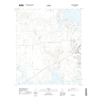
2019 Map of Twin Buttes
USGS Topo · Published 2019About this map
Twin Buttes Reservoir and the western edge of San Angelo dominate this West Texas landscape, showing a complex network of recreation and water management. To the north, O C Fisher Lake is surrounded by a dense web of recreational paths such as the Flintstone Village Trail, Lanky Lackey Trail, and Horny Toad Trail, while Pulliam Point overlooks the water. The hydrology of the region is traced through the Middle Concho River and Pot Cr, feeding into the larger reservoirs and the Red Bluff Slough near Lake Nasworthy. Established routes like Arden Rd and FM 2288 provide the primary infrastructure for suburban growth and access to the notable geological formation of the Twin Buttes itself, which stands as a prominent landmark between the river forks.
Find a feature on this map
83 named features on this map. Tap any name to fly to it.
Don’t see what you’re looking for? This feature index may not catch every label — zoom into the map to look around manually.
Map Details
Editions of this 2019 Twin Buttes Map
This is the sole edition of this map. No revisions or reprints were ever made.
Other maps of this area
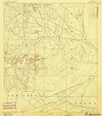
1891 · Hayrick
USGS Topo · 1:125,000
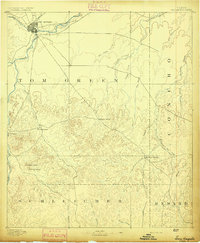
1892 · San Angelo
USGS Topo · 1:125,000
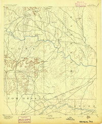
1894 · Hayrick
USGS Topo · 1:125,000
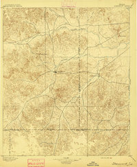
1895 · Sherwood
USGS Topo · 1:125,000
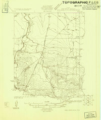
1924 · San Angelo 2-c
USGS Topo · 1:48,000
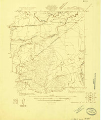
1924 · Sherwood 1-d
USGS Topo · 1:48,000
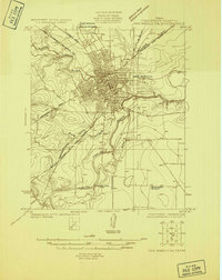
1924 · San Angelo 2-b
USGS Topo · 1:48,000
1924 · Sherwood 1-a
USGS Topo · 1:48,000
1928 · Wall
USGS Topo · 1:62,500
1928 · Tankersly
USGS Topo · 1:62,500