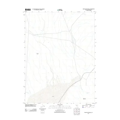
2011 Map of Twin Buttes Well
USGS Topo · Published 2011About this map
Kumiva Valley dominates this high-desert landscape in Pershing County, Nevada, where water management is the primary marker of human presence. The northern reaches are anchored by Twin Buttes Well, a critical water point for a region characterized by ephemeral drainage and expansive basins. The southern portion of the sheet is defined by the massive Dry Lake bed, which collects runoff from the surrounding highlands. This 2011 survey reveals a stark environmental pattern where life clings to specific water sources like Black Mountain Spring and seasonal flows along Betty Creek and Missouri Creek. The drainage systems from the Blue Wing Mountains illustrate the complex natural irrigation of the Great Basin, providing essential detail for researchers of Nevada's hydrography and desert livestock history.
Find a feature on this map
7 named features on this map. Tap any name to fly to it.
Don’t see what you’re looking for? This feature index may not catch every label — zoom into the map to look around manually.
Map Details
Editions of this 2011 Twin Buttes Well Map
This is the sole edition of this map. No revisions or reprints were ever made.
Other maps of this area
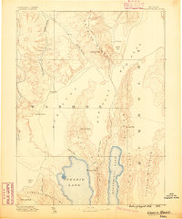
1886 · Granite Range
USGS Topo · 1:250,000
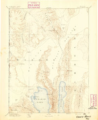
1894 · Granite Range
USGS Topo · 1:250,000
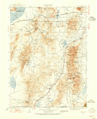
1931 · Lovelock
USGS Topo · 1:250,000
1935 · Lovelock
USGS Topo · 1:250,000
1955 · Lovelock
USGS Topo · 1:250,000
1959 · Lovelock
USGS Topo · 1:250,000
1980 · Eagle Rock Spring
USGS Topo · 1:24,000
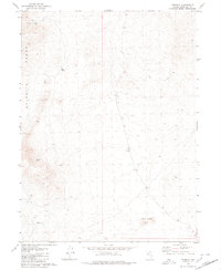
1980 · Tenmile
USGS Topo · 1:24,000
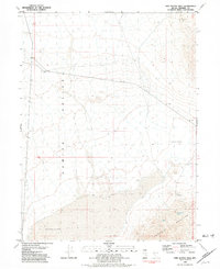
1981 · Twin Buttes Well
USGS Topo · 1:24,000
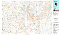
1981 · Gerlach
USGS Topo · 1:100,000