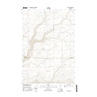
2017 Map of Twin Buttes
USGS Topo · Published 2017About this map
Cedar Valley and the surrounding highlands dominate this 2017 survey of the border between Yakima and Klickitat counties. The landscape is defined by its dramatic relief, anchored by the prominent elevations of Klose Butte and the namesake Twin Buttes. A network of Bureau of Indian Affairs roads, such as Bia RD 203 and Bia RD 223, provides access across the rugged terrain, which is deeply incised by watercourses like Summit Cr and Schafer Cr. The presence of Hog Swamp in the northeast corner suggests unique drainage patterns on the plateau above Brush Cr. This map documents the complex topography of the Pacific Northwest, showing how natural landforms like Feathered Cr and Cedar Cr dictate the layout of forest roads and land management boundaries in this part of Washington.
Find a feature on this map
30 named features on this map. Tap any name to fly to it.
Don’t see what you’re looking for? This feature index may not catch every label — zoom into the map to look around manually.
Map Details
Editions of this 2017 Twin Buttes Map
This is the sole edition of this map. No revisions or reprints were ever made.
Other maps of this area
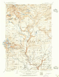
1904 · Mount Adams
USGS Topo · 1:125,000
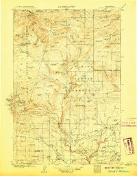
1907 · Mount Adams
USGS Topo · 1:125,000
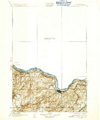
1934 · The Dalles
USGS Topo · 1:125,000
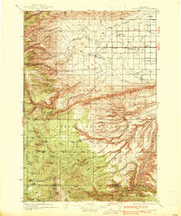
1937 · White Swan
USGS Topo · 1:125,000

1950 · Yakima
USGS Topo · 1:250,000

1953 · The Dalles
USGS Topo · 1:250,000

1956 · The Dalles
USGS Topo · 1:250,000
1957 · The Dalles
USGS Topo · 1:250,000
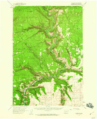
1957 · Klickitat
USGS Topo · 1:62,500
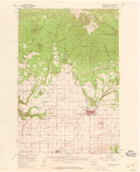
1957 · Goldendale
USGS Topo · 1:62,500