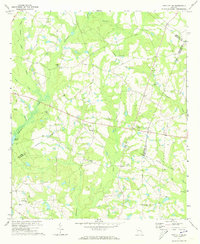
1971 Map of Twin City SE
USGS Topo · Published 1973About this map
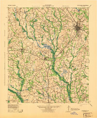
Fifteenmile Creek and its many tributaries, including Nathan Creek and Simon Creek, define the drainage patterns of this rural Georgia landscape at the junction of Emanuel, Candler, and Bulloch counties. The area is characterized by a high concentration of country churches that likely served as local social anchors, such as New Beulah Ch and Friendship Ch. The presence of an Old Railroad Grade running northwest to southeast suggests a shift in the local economy, where a former rail corridor has been repurposed or left behind as the timber and agricultural transport shifted to the modern road network.
Find a feature on this map
24 named features on this map. Tap any name to fly to it.
Don’t see what you’re looking for? This feature index may not catch every label — zoom into the map to look around manually.
Map Details
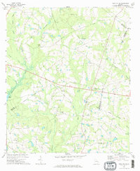
Editions of this 1971 Twin City SE Map
2 editions found
Other maps of this area

1920 · Statesboro
USGS Topo · 1:62,500
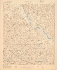
1921 · Rocky Ford
USGS Topo · 1:62,500
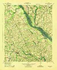
1943 · Rocky Ford
USGS Topo · 1:62,500

1943 · Millen
USGS Topo · 1:125,000
1943 · Statesboro
USGS Topo · 1:62,500

1947 · Savannah
USGS Topo · 1:250,000

1948 · Savannah
USGS Topo · 1:250,000

1957 · Macon
USGS Topo · 1:250,000

1957 · Savannah
USGS Topo · 1:250,000

1958 · Macon
USGS Topo · 1:250,000