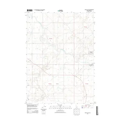
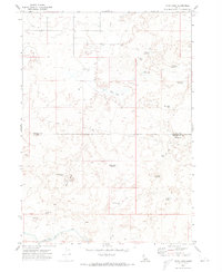
2013 Map of Twin Falls NE
USGS Topo · Published 2013About this map
Irrigation infrastructure dominates this section of Jerome County, where the North Side Main Canal and an intricate network of alphabetized waterways like H Canal, K Canal, and L Canal define the agricultural landscape. This 2013 survey illustrates the systematic division of the Snake River Plain, utilizing a grid of rural roads and canals to support the high-desert farmland around Perrine. The northeastern portion of the sheet transitions into the protected terrain of the Minidoka National Wildlife Refuge, marking the intersection of intensive human water management and natural habitat preservation. Local travel is facilitated by Id-25 and a numbered grid of county roads, including Hunt Rd and various lateral ditches such as Lateral 21, providing a detailed view of the region's hydraulic engineering.
Find a feature on this map
35 named features on this map. Tap any name to fly to it.
Don’t see what you’re looking for? This feature index may not catch every label — zoom into the map to look around manually.
Map Details
Editions of this 2013 Twin Falls NE Map
This is the sole edition of this map. No revisions or reprints were ever made.
Other maps of this area

1955 · Twin Falls
USGS Topo · 1:250,000

1958 · Twin Falls
USGS Topo · 1:250,000
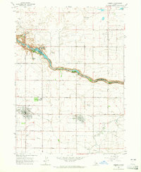
1964 · Kimberly
USGS Topo · 1:24,000
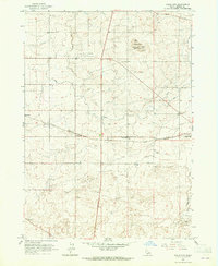
1964 · Falls City
USGS Topo · 1:24,000
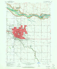
1964 · Twin Falls
USGS Topo · 1:24,000
1964 · Eden
USGS Topo · 1:24,000
1964 · Perrine
USGS Topo · 1:24,000
1964 · Hunt
USGS Topo · 1:24,000
1971 · Shoshone SE
USGS Topo · 1:24,000
1971 · Star Lake
USGS Topo · 1:24,000