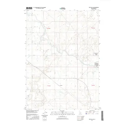
2017 Map of Twin Falls NE
USGS Topo · Published 2017About this map
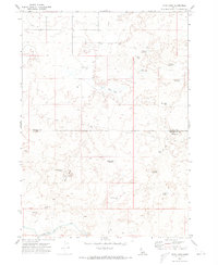
The Minidoka National Historic Site (also labeled Minidoka NHS) stands as the most significant landmark in this high desert landscape, marking the grounds of the former incarceration camp. The surrounding terrain in Jerome County is defined by an intricate network of irrigation infrastructure essential to the region's agricultural survival. The North Side Main Canal snakes through the center of the sheet, feeding a complex system of smaller channels including the L Canal, K Canal, and F-1 Canal. This grid of water management reflects the massive engineering efforts required to transform the Snake River Plain. The small settlement of Perrine and rural routes like Sugar Loaf Rd and Klimes Rd connect the scattered farmsteads. These roads follow the section lines of the Public Land Survey System, specifically within township t8s r18e and t9s r18e, illustrating the rigid geometric organization of the Idaho countryside during the early 21st century.
Find a feature on this map
38 named features on this map. Tap any name to fly to it.
Don’t see what you’re looking for? This feature index may not catch every label — zoom into the map to look around manually.
Map Details
Editions of this 2017 Twin Falls NE Map
This is the sole edition of this map. No revisions or reprints were ever made.
Other maps of this area

1955 · Twin Falls
USGS Topo · 1:250,000

1958 · Twin Falls
USGS Topo · 1:250,000
1964 · Kimberly
USGS Topo · 1:24,000
1964 · Falls City
USGS Topo · 1:24,000
1964 · Twin Falls
USGS Topo · 1:24,000
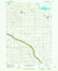
1964 · Eden
USGS Topo · 1:24,000
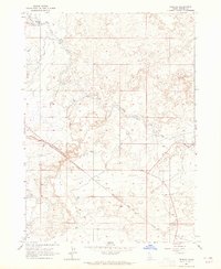
1964 · Perrine
USGS Topo · 1:24,000
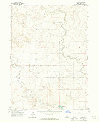
1964 · Hunt
USGS Topo · 1:24,000
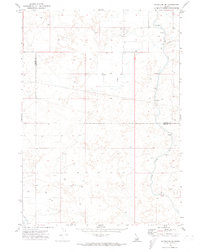
1971 · Shoshone SE
USGS Topo · 1:24,000
1971 · Star Lake
USGS Topo · 1:24,000