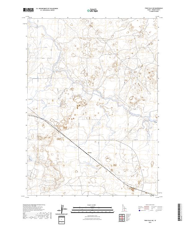
2024 Map of Twin Falls NE
USGS Topo · Published 2024About this map
Minidoka National Historic Site dominates the eastern portion of this Jerome County landscape, marking a significant location for historical study. The surrounding area is characterized by an intricate web of irrigation infrastructure, essential for agricultural life in this part of Idaho. Major waterways like the North Side Main Canal and the North-Side Main Canal branch into numerous smaller channels, including the F Canal, E Canal, and Lateral 21, creating a highly engineered hydrological network. Small rural centers such as Hunt and Perrine anchor the local road system, which is defined by a rigid grid of routes like E Perrine Rd and Hunt Rd. This map captures the essential connection between water management and settlement, where the placement of every ditch and canal dictated the viability of local farmsteads and communities.
Find a feature on this map
28 named features on this map. Tap any name to fly to it.
Don’t see what you’re looking for? This feature index may not catch every label — zoom into the map to look around manually.
Map Details
Editions of this 2024 Twin Falls NE Map
This is the sole edition of this map. No revisions or reprints were ever made.
Other maps of this area

1955 · Twin Falls
USGS Topo · 1:250,000

1958 · Twin Falls
USGS Topo · 1:250,000

1964 · Kimberly
USGS Topo · 1:24,000

1964 · Falls City
USGS Topo · 1:24,000

1964 · Twin Falls
USGS Topo · 1:24,000

1964 · Eden
USGS Topo · 1:24,000

1964 · Perrine
USGS Topo · 1:24,000

1964 · Hunt
USGS Topo · 1:24,000

1971 · Shoshone SE
USGS Topo · 1:24,000

1971 · Star Lake
USGS Topo · 1:24,000