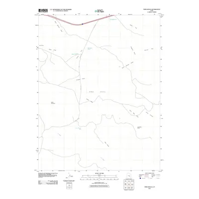
2011 Map of Twin Knolls
USGS Topo · Published 2011About this map
Sinbad Country defines this portion of the San Rafael Swell in Emery County, where a network of ephemeral drainages and isolated landmarks characterises the landscape. The eponymous Twin Knolls and the prominent Lone Man Butte anchor the southern reaches, while Block Mountain stands as a massive landmark to the west. Water is a scarce but vital resource, marked by the presence of The Big Pond, Woodpile Pond, and State Pond. This survey captures the land as it was in the early 21st century, showing how Temple Mt Rd provides the primary north-south passage through the high desert terrain. The naming conventions of the area's geography, such as Lone Parson Hole and Home Base, suggest a history of ranching and exploration. These features, alongside numerous topographical draws like Reid Neilson Draw and Crawford Draw, illustrate a complex erosion pattern typical of this arid region.
Find a feature on this map
21 named features on this map. Tap any name to fly to it.
Don’t see what you’re looking for? This feature index may not catch every label — zoom into the map to look around manually.
Map Details
Editions of this 2011 Twin Knolls Map
This is the sole edition of this map. No revisions or reprints were ever made.
Other maps of this area

1885 · San Rafael
USGS Topo · 1:250,000
1952 · Wild Horse
USGS Topo · 1:62,500
1952 · San Rafael Knob
USGS Topo · 1:62,500
1953 · Stinking Spring Creek 2 SE
USGS Topo · 1:24,000
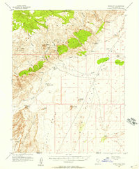
1953 · Temple Mtn
USGS Topo · 1:62,500
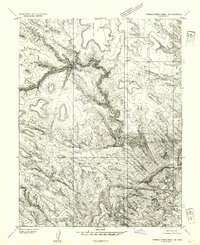
1954 · Stinking Spring Creek 1 SE
USGS Topo · 1:24,000
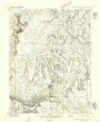
1954 · Stinking Spring Creek 1 NW
USGS Topo · 1:24,000
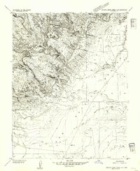
1954 · Stinking Spring Creek 4 NE
USGS Topo · 1:24,000
1954 · Stinking Spring Creek 4 NW
USGS Topo · 1:24,000
1954 · Stinking Spring Creek 1 NE
USGS Topo · 1:24,000