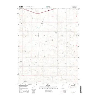
2014 Map of Twin Knolls
USGS Topo · Published 2014About this map
San Rafael Swell dominates this portion of Emery County, defining a landscape of high desert plateaus and deeply carved drainages. The 2014 survey reveals a territory marked by isolated water sources such as Woodpile Pond and Cottonwood Holes, which are critical landmarks in this arid environment. The naming of the land reflects a history of individual exploration and navigation, with features like Reid Neilson Draw, Georges Draw, and the curiously named Lone Parson Hole suggesting the presence of early ranchers or travelers. Physical landmarks like Block Mtn and Lone Man Butte provide vertical relief in the vicinity of Sinbad Country. Accessibility is limited to specific corridors such as Temple Mountain Rd, highlighting the remote nature of the Twin Knolls area where modern infrastructure remains minimal against the backdrop of traditional land divisions.
Find a feature on this map
35 named features on this map. Tap any name to fly to it.
Don’t see what you’re looking for? This feature index may not catch every label — zoom into the map to look around manually.
Map Details
Editions of this 2014 Twin Knolls Map
This is the sole edition of this map. No revisions or reprints were ever made.
Other maps of this area

1885 · San Rafael
USGS Topo · 1:250,000
1952 · Wild Horse
USGS Topo · 1:62,500
1952 · San Rafael Knob
USGS Topo · 1:62,500
1953 · Stinking Spring Creek 2 SE
USGS Topo · 1:24,000
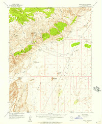
1953 · Temple Mtn
USGS Topo · 1:62,500
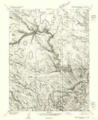
1954 · Stinking Spring Creek 1 SE
USGS Topo · 1:24,000
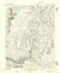
1954 · Stinking Spring Creek 1 NW
USGS Topo · 1:24,000
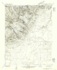
1954 · Stinking Spring Creek 4 NE
USGS Topo · 1:24,000
1954 · Stinking Spring Creek 4 NW
USGS Topo · 1:24,000
1954 · Stinking Spring Creek 1 NE
USGS Topo · 1:24,000