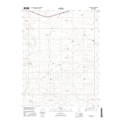
2017 Map of Twin Knolls
USGS Topo · Published 2017About this map
The San Rafael Swell dominates this portion of Emery County, defining a landscape of deep canyons and high mesas. Transportation through this arid terrain is centered on the historic route from Moab to Boulder Town, which intersects with Temple Mt Rd. These corridors provide access to a series of vital water sources in an otherwise dry environment, including Cottonwood Holes, Crawford Holes, and Charley Holes.
Find a feature on this map
38 named features on this map. Tap any name to fly to it.
Don’t see what you’re looking for? This feature index may not catch every label — zoom into the map to look around manually.
Map Details
Editions of this 2017 Twin Knolls Map
This is the sole edition of this map. No revisions or reprints were ever made.
Other maps of this area

1885 · San Rafael
USGS Topo · 1:250,000
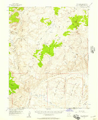
1952 · Wild Horse
USGS Topo · 1:62,500
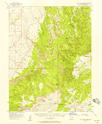
1952 · San Rafael Knob
USGS Topo · 1:62,500
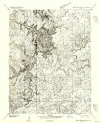
1953 · Stinking Spring Creek 2 SE
USGS Topo · 1:24,000
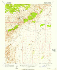
1953 · Temple Mtn
USGS Topo · 1:62,500
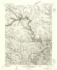
1954 · Stinking Spring Creek 1 SE
USGS Topo · 1:24,000
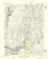
1954 · Stinking Spring Creek 1 NW
USGS Topo · 1:24,000
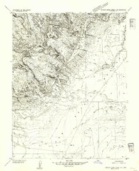
1954 · Stinking Spring Creek 4 NE
USGS Topo · 1:24,000
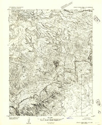
1954 · Stinking Spring Creek 4 NW
USGS Topo · 1:24,000
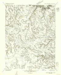
1954 · Stinking Spring Creek 1 NE
USGS Topo · 1:24,000