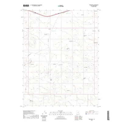
2020 Map of Twin Knolls
USGS Topo · Published 2020About this map
The San Rafael Swell defines this high desert landscape in Emery County, where water is a precious and named resource. Modern infrastructure like Temple Mt Rd cuts through the desert, yet the map retains traces of traditional land use through the naming of localized water sources. Clusters of depressions and catchments such as the Crawford Holes, Charley Holes, and Cottonwood Holes suggest the importance of these sites for livestock or local travel across the arid flats. Significant topographic features including Lone Man Butte, Block Mtn, and the titular Twin Knolls provide natural landmarks for navigation.
Find a feature on this map
28 named features on this map. Tap any name to fly to it.
Don’t see what you’re looking for? This feature index may not catch every label — zoom into the map to look around manually.
Map Details
Editions of this 2020 Twin Knolls Map
This is the sole edition of this map. No revisions or reprints were ever made.
Other maps of this area

1885 · San Rafael
USGS Topo · 1:250,000
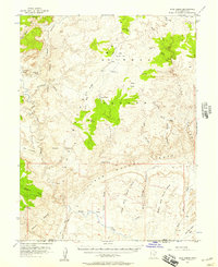
1952 · Wild Horse
USGS Topo · 1:62,500
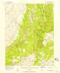
1952 · San Rafael Knob
USGS Topo · 1:62,500
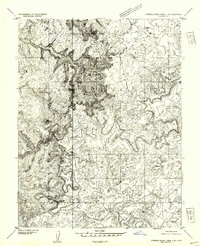
1953 · Stinking Spring Creek 2 SE
USGS Topo · 1:24,000
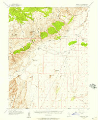
1953 · Temple Mtn
USGS Topo · 1:62,500
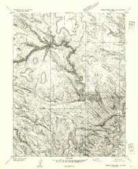
1954 · Stinking Spring Creek 1 SE
USGS Topo · 1:24,000
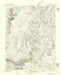
1954 · Stinking Spring Creek 1 NW
USGS Topo · 1:24,000
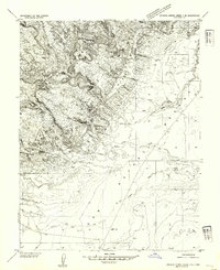
1954 · Stinking Spring Creek 4 NE
USGS Topo · 1:24,000
1954 · Stinking Spring Creek 4 NW
USGS Topo · 1:24,000
1954 · Stinking Spring Creek 1 NE
USGS Topo · 1:24,000