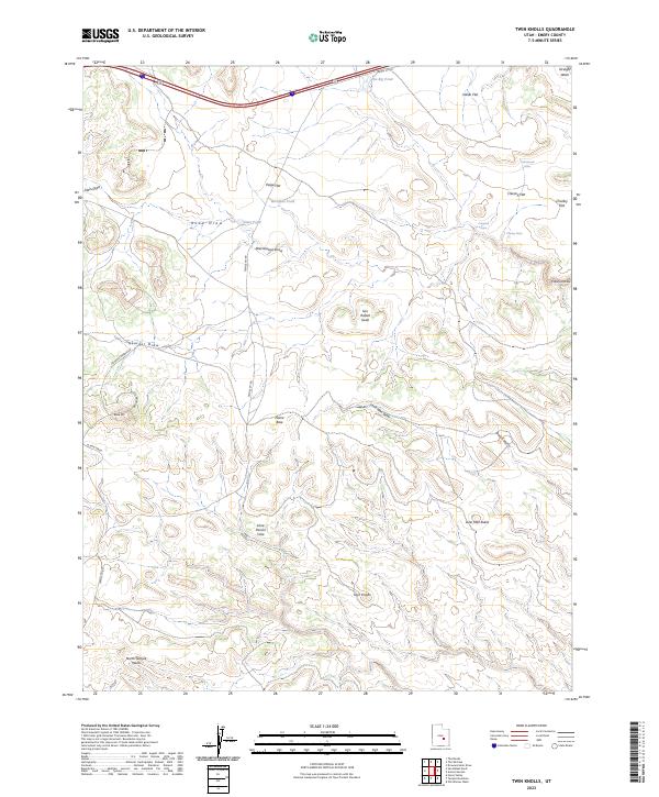
2023 Map of Twin Knolls
USGS Topo · Published 2023About this map
San Rafael Swell defines the high-desert character of this Emery County landscape, where deep drainages like Georges Draw and Lane Man Draw carve through the arid terrain. The presence of Home Base and named water catchments such as Lone Parson Hole and The Big Pond suggests a history of localized cattle ranching or mineral exploration in a region otherwise dominated by isolated landmarks. The topography is anchored by prominent elevations including Lone Man Butte, Block Mtn, and the titular Twin Knolls. For researchers, the map traces the critical transit artery of Temple Mt Rd as it moves through various basins, including Indian Flat and Paige Flat. This modern record details how early named features such as Cottonwood Holes and Woodpile Pond remain vital identifiers in the remote Utah interior.
Find a feature on this map
28 named features on this map. Tap any name to fly to it.
Don’t see what you’re looking for? This feature index may not catch every label — zoom into the map to look around manually.
Map Details
Editions of this 2023 Twin Knolls Map
This is the sole edition of this map. No revisions or reprints were ever made.
Other maps of this area

1885 · San Rafael
USGS Topo · 1:250,000

1952 · Wild Horse
USGS Topo · 1:62,500

1952 · San Rafael Knob
USGS Topo · 1:62,500

1953 · Stinking Spring Creek 2 SE
USGS Topo · 1:24,000

1953 · Temple Mtn
USGS Topo · 1:62,500

1954 · Stinking Spring Creek 1 SE
USGS Topo · 1:24,000

1954 · Stinking Spring Creek 1 NW
USGS Topo · 1:24,000

1954 · Stinking Spring Creek 4 NE
USGS Topo · 1:24,000

1954 · Stinking Spring Creek 4 NW
USGS Topo · 1:24,000

1954 · Stinking Spring Creek 1 NE
USGS Topo · 1:24,000