
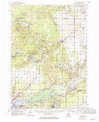
1958 Map of Twin Lake
USGS Topo · Published 1960About this map
Manistee National Forest dominates the northern and central portions of this 1958 survey, where a dense cluster of lakes like Nine Acre Lake and Pine Island Lake characterize the glacial landscape. The settlement of Twin Lake sits at a geographic pivot point where the forested recreation areas meet the expanding suburban and industrial corridors of North Muskegon and Wolf Lake to the south. Further east, the village of Holton serves as a small-scale hub along the Chesapeake and Ohio railroad line.
Find a feature on this map
110 named features on this map. Tap any name to fly to it.
Don’t see what you’re looking for? This feature index may not catch every label — zoom into the map to look around manually.
Map Details
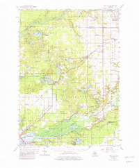
Editions of this 1958 Twin Lake Map
3 editions found
Other maps of this area

1929 · Montague
USGS Topo · 1:48,000

1930 · Lake Harbor
USGS Topo · 1:48,000

1930 · Muskegon
USGS Topo · 1:62,500

1931 · Hart SE
USGS Topo · 1:31,680

1931 · Walkerville SW
USGS Topo · 1:31,680

1931 · Walkerville SE
USGS Topo · 1:31,680

1936 · Muskegon
USGS Topo · 1:62,500

1936 · Lake Harbor
USGS Topo · 1:62,500

1945 · Ravenna
USGS Topo · 1:62,500

1954 · Milwaukee
USGS Topo · 1:250,000