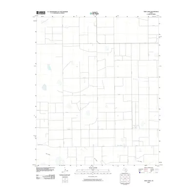
2010 Map of Twin Lakes
USGS Topo · Published 2010About this map
Twin Lakes and the drainage of Frio Draw characterize this agricultural portion of Deaf Smith County in the early 21st century. The landscape is defined by a rigid grid of county roads, such as Co Rd 11 and Co Rd A, which facilitate access to the vast plains of the Texas Panhandle. In the northwest corner, the intermittent flow of Tierra Blanca Creek cuts across the otherwise level terrain, indicating the subtle shifts in elevation that influence water management in this semi-arid region.
Find a feature on this map
19 named features on this map. Tap any name to fly to it.
Don’t see what you’re looking for? This feature index may not catch every label — zoom into the map to look around manually.
Map Details
Editions of this 2010 Twin Lakes Map
This is the sole edition of this map. No revisions or reprints were ever made.
Other maps of this area

1954 · Clovis
USGS Topo · 1:250,000

1958 · Clovis
USGS Topo · 1:250,000

1965 · Bovina
USGS Topo · 1:24,000

1965 · Parmerton
USGS Topo · 1:24,000

1965 · Hub
USGS Topo · 1:24,000

1965 · Twin Lakes
USGS Topo · 1:24,000

1965 · Rhea
USGS Topo · 1:24,000

1966 · Friona
USGS Topo · 1:24,000

1970 · Chalk Hill
USGS Topo · 1:24,000

1971 · Bootleg
USGS Topo · 1:24,000