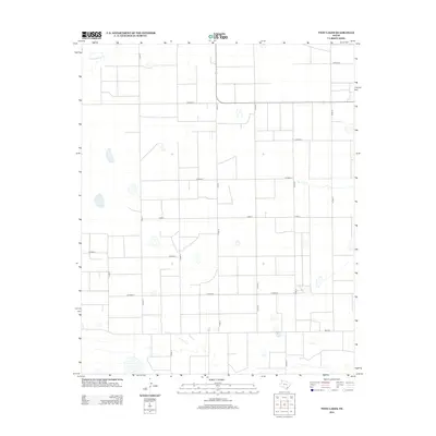
2012 Map of Twin Lakes
USGS Topo · Published 2012About this map
Twin Lakes and the drainage of Tierra Blanca Cr anchor this high plains landscape in Deaf Smith County. The 2012 survey illustrates a meticulously organized agricultural grid, where the vast open stretches are defined by an exacting network of county roads. Primary transit corridors like FM-2013 and Cord-13 bisect the terrain, connecting isolated farmsteads and agricultural plots. The map reveals the characteristic playa lake depressions of the Texas Panhandle, scattered across the sections between Co Road A and Co Road G. This cartographic record is essential for understanding modern land use and the persistent irrigation and transportation patterns that sustain this semi-arid region.
Find a feature on this map
17 named features on this map. Tap any name to fly to it.
Don’t see what you’re looking for? This feature index may not catch every label — zoom into the map to look around manually.
Map Details
Editions of this 2012 Twin Lakes Map
This is the sole edition of this map. No revisions or reprints were ever made.
Other maps of this area

1954 · Clovis
USGS Topo · 1:250,000

1958 · Clovis
USGS Topo · 1:250,000

1965 · Bovina
USGS Topo · 1:24,000

1965 · Parmerton
USGS Topo · 1:24,000

1965 · Hub
USGS Topo · 1:24,000

1965 · Twin Lakes
USGS Topo · 1:24,000

1965 · Rhea
USGS Topo · 1:24,000

1966 · Friona
USGS Topo · 1:24,000

1970 · Chalk Hill
USGS Topo · 1:24,000

1971 · Bootleg
USGS Topo · 1:24,000