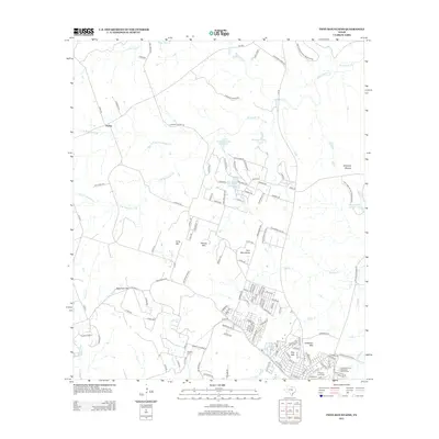
2012 Map of Twin Mountains
USGS Topo · Published 2012About this map
Twin Mountains and several other prominent peaks dominate this Central Texas landscape northwest of Copperas Cove. The topography is defined by the transition from ranch lands near Topsey to the high ground of Herzog Mtn and Long Mtn. To the east, the Fort Hood Military Reservation boundary borders residential growth spreading from the south, where Anderson Mtn and Hog Mtn overlook suburban street networks.
Find a feature on this map
142 named features on this map. Tap any name to fly to it.
Don’t see what you’re looking for? This feature index may not catch every label — zoom into the map to look around manually.
Map Details
Editions of this 2012 Twin Mountains Map
This is the sole edition of this map. No revisions or reprints were ever made.
Other maps of this area

1887 · Lampasas
USGS Topo · 1:125,000

1894 · Lampasas
USGS Topo · 1:125,000

1894 · Gatesville
USGS Topo · 1:125,000

1947 · Fort Hood
USGS Topo · 1:62,500

1947 · Fort Hood
USGS Topo · 1:24,000

1947 · Purmela
USGS Topo · 1:62,500

1947 · McMillan Mountains
USGS Topo · 1:24,000

1947 · Pidcoke
USGS Topo · 1:24,000

1947 · Shell Mountains
USGS Topo · 1:24,000

1947 · Twin Moutains
USGS Topo · 1:24,000