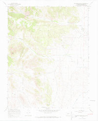
1967 Map of Twin Mountains SE
USGS Topo · Published 1969About this map
Hellgate and Shaw Springs anchor the drainage basins of the Rio Grande National Forest in this 1960s study of Saguache County. The landscape is defined by the carved paths of Carnero Creek and La Garita Creek, where the terrain rises toward distinctive high points like Eagle Rock and the Elephant Rocks. These geological formations, along with numerous unnamed springs, dictated the placement of early infrastructure, from the Ancha Trail to more modern developments such as a major Pipeline and Canal system.
Find a feature on this map
20 named features on this map. Tap any name to fly to it.
Don’t see what you’re looking for? This feature index may not catch every label — zoom into the map to look around manually.
Map Details
Editions of this 1967 Twin Mountains SE Map
2 editions found
Other maps of this area

1915 · Del Norte
USGS Topo · 1:125,000

1917 · Del Norte
USGS Topo · 1:125,000

1945 · Durango
USGS Topo · 1:250,000

1953 · Durango
USGS Topo · 1:250,000

1954 · Durango
USGS Topo · 1:250,000

1961 · Durango
USGS Topo · 1:250,000

1963 · Durango
USGS Topo · 1:250,000

1964 · Sevenmile Plaza
USGS Topo · 1:24,000

1966 · Durango
USGS Topo · 1:250,000
1966 · Del Norte
USGS Topo · 1:24,000