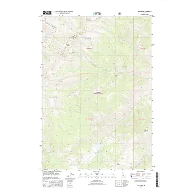
2017 Map of Twin Peaks
USGS Topo · Published 2017About this map
Mosquito Flat Reservoir sits at the southern reach of this drainage-rich territory within the Challis National Forest. High-altitude water bodies like Spruce Lake and the Twin Cr Lakes are scattered among prominent summits, including the namesake Twin Peaks and the massive White Valley Mtn. The landscape is defined by its deep drainage systems, with Challis Cr, Bear Cr, and Lodgepole Cr carving through the terrain. A historical boundary between Lemhi and Custer Counties cuts across the northern ridges. Transportation is limited to primitive routes such as the Sleeping Deer Road (Winter Trail) and the Challis Creek Rd, which provide access to this backcountry. Topographical landmarks like Corkscrew Mtn and Pine Summit serve as critical navigation points for those traversing the gulches and high meadows of the Salmon River Mountains.
Find a feature on this map
30 named features on this map. Tap any name to fly to it.
Don’t see what you’re looking for? This feature index may not catch every label — zoom into the map to look around manually.
Map Details
Editions of this 2017 Twin Peaks Map
This is the sole edition of this map. No revisions or reprints were ever made.
Other maps of this area
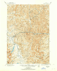
1919 · Custer
USGS Topo · 1:125,000
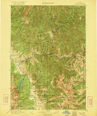
1922 · Custer
USGS Topo · 1:125,000
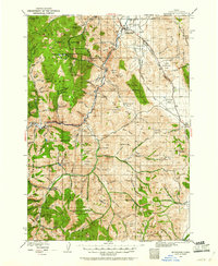
1929 · Bayhorse
USGS Topo · 1:125,000
1930 · Casto
USGS Topo · 1:125,000
1956 · Twin Peaks
USGS Topo · 1:62,500

1957 · Challis
USGS Topo · 1:250,000

1960 · Challis
USGS Topo · 1:250,000

1963 · Challis
USGS Topo · 1:250,000
1963 · Challis Creek Lakes
USGS Topo · 1:24,000
1963 · Bayhorse Lake
USGS Topo · 1:24,000