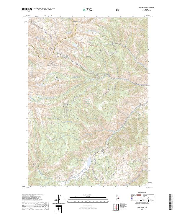
2024 Map of Twin Peaks
USGS Topo · Published 2024About this map
Frank Church-River of No Return Wilderness and the Challis National Forest dominate this high-elevation landscape along the boundary of Lemhi and Custer counties. The terrain is defined by dramatic peaks and deep drainages, centering on the eponymous Twin Peaks and nearby White Mountain. A network of backcountry routes, including the Sleeping Deer Road and Twin Peaks Rd, provide access to this roadless interior where water systems like Warm Spring Creek and Challis Creek originate. High-altitude water bodies such as Spruce Gulch Lake and Twin Cr Lakes are tucked into the steep topography. The presence of Pine Summit and Corkscrew Mtn suggests the difficult navigation required in this part of the Salmon River Mountains, where historical forest service access points like Nat For Dev Rd 86 connect the high ridges to the creek bottoms.
Find a feature on this map
43 named features on this map. Tap any name to fly to it.
Don’t see what you’re looking for? This feature index may not catch every label — zoom into the map to look around manually.
Map Details
Editions of this 2024 Twin Peaks Map
This is the sole edition of this map. No revisions or reprints were ever made.
Other maps of this area

1919 · Custer
USGS Topo · 1:125,000

1922 · Custer
USGS Topo · 1:125,000

1929 · Bayhorse
USGS Topo · 1:125,000

1930 · Casto
USGS Topo · 1:125,000

1956 · Twin Peaks
USGS Topo · 1:62,500

1957 · Challis
USGS Topo · 1:250,000

1960 · Challis
USGS Topo · 1:250,000

1963 · Challis
USGS Topo · 1:250,000

1963 · Challis Creek Lakes
USGS Topo · 1:24,000

1963 · Bayhorse Lake
USGS Topo · 1:24,000