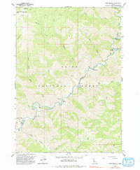
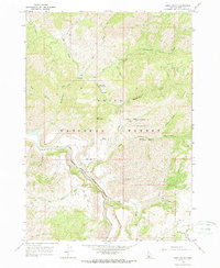
1964 Map of Twin Springs
USGS Topo · Published 1993About this map
Boise National Forest encompasses this wilderness area where the North Fork Boise River carves a deep path through the canyon lands of the Boise and Elmore county line. The map captures the remote outpost at Twin Springs, a site noted for its geothermal activity along the riverbank. This mid-century survey documents the area's transition into a recreational and resource management landscape, marked by the Troutdale Guard Sta and several riverside sites like Birch Creek Campground.
Find a feature on this map
32 named features on this map. Tap any name to fly to it.
Don’t see what you’re looking for? This feature index may not catch every label — zoom into the map to look around manually.
Map Details
Editions of this 1964 Twin Springs Map
3 editions found

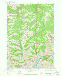
Other maps of this area

1894 · Idaho Basin
USGS Topo · 1:125,000

1955 · Hailey
USGS Topo · 1:250,000
1957 · Idaho City
USGS Topo · 1:24,000

1959 · Hailey
USGS Topo · 1:250,000

1962 · Hailey
USGS Topo · 1:250,000
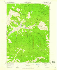
1964 · Prairie
USGS Topo · 1:24,000

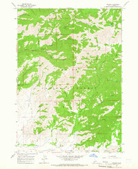
1964 · Sheep Creek
USGS Topo · 1:24,000
1964 · Twin Springs
USGS Topo · 1:24,000
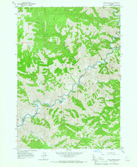
1964 · Long Gulch
USGS Topo · 1:24,000
1969 · Arrowrock Reservoir NE
USGS Topo · 1:24,000