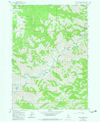
1964 Map of Twin Springs
USGS Topo · Published 1983About this map
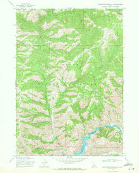
Boise National Forest encompasses this stretch of the Idaho mountains where the Boise River carves a deep, winding path through high-elevation terrain. The settlement of Twin Springs serves as a focal point along the river, positioned near Hot Springs and at the confluence of several steep drainages like Alder Creek and Browns Creek. The landscape is defined by the needs of early resource management and recreation, evidenced by the Troutdale Guard Sta and the Birch Creek Campground.
Find a feature on this map
34 named features on this map. Tap any name to fly to it.
Don’t see what you’re looking for? This feature index may not catch every label — zoom into the map to look around manually.
Map Details
Editions of this 1964 Twin Springs Map
3 editions found
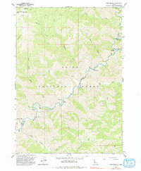
Other maps of this area

1894 · Idaho Basin
USGS Topo · 1:125,000

1955 · Hailey
USGS Topo · 1:250,000

1957 · Idaho City
USGS Topo · 1:24,000

1959 · Hailey
USGS Topo · 1:250,000

1962 · Hailey
USGS Topo · 1:250,000
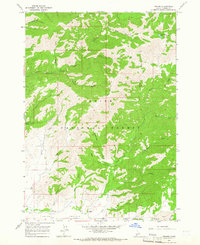
1964 · Prairie
USGS Topo · 1:24,000

1964 · Sheep Creek
USGS Topo · 1:24,000

1964 · Twin Springs
USGS Topo · 1:24,000
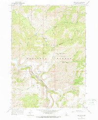
1964 · Long Gulch
USGS Topo · 1:24,000
1969 · Arrowrock Reservoir NE
USGS Topo · 1:24,000