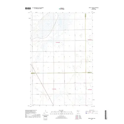
2019 Map of Twistal Swamp
USGS Topo · Published 2019About this map
Twistal Swamp dominates the northern landscape of this corner of Roseau County, where the low-lying terrain transitions into a complex network of managed waterways. The drainage patterns of the early twenty-first century are clearly defined by engineered features such as State Ditch Number Ninety and Lateral Ditch Number Five, which redirect water across the township lines. To the south, the natural path of the Tamarac River meanders through the plains, providing a sharp contrast to the rigid grid of county roads and section lines. This area, where Kittson, Roseau, and Marshall counties meet, remains sparsely settled, centered primarily on agricultural land and rural intersections. A small pocket of local history is preserved at Zion Cem, situated along 180th Ave NW, serving as one of the few named landmarks in this quiet reach of the Minnesota prairie.
Find a feature on this map
30 named features on this map. Tap any name to fly to it.
Don’t see what you’re looking for? This feature index may not catch every label — zoom into the map to look around manually.
Map Details
Editions of this 2019 Twistal Swamp Map
This is the sole edition of this map. No revisions or reprints were ever made.
Other maps of this area
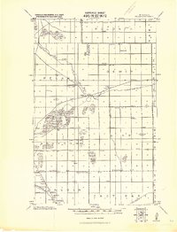
1919 · Pelan
USGS Topo · 1:62,500

1952 · Thief River Falls
USGS Topo · 1:250,000

1956 · Thief River Falls
USGS Topo · 1:250,000
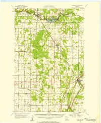
1956 · Karlstad
USGS Topo · 1:62,500
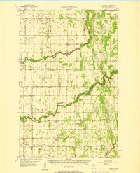
1956 · Florian
USGS Topo · 1:62,500

1957 · Thief River Falls
USGS Topo · 1:250,000
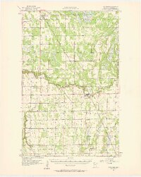
1957 · Newfolden
USGS Topo · 1:62,500
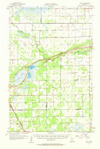
1957 · Pelan
USGS Topo · 1:62,500
1967 · Thief River Falls
USGS Topo · 1:250,000
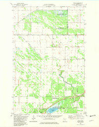
1982 · Pelan
USGS Topo · 1:24,000