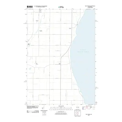
2010 Map of Two Creeks
USGS Topo · Published 2010About this map
Lake Michigan defines the eastern boundary of this Manitowoc County landscape, where small rural settlements and agricultural plots meet the shoreline. The community of Two Creeks sits central to the map, while Norman and Tisch Mills occupy the northwest corner. This area is deeply tied to its Catholic heritage and early pioneer roots, evidenced by local landmarks like Saint Josephs Catholic Cemetery and Saint Johns Cemetery.
Find a feature on this map
36 named features on this map. Tap any name to fly to it.
Don’t see what you’re looking for? This feature index may not catch every label — zoom into the map to look around manually.
Map Details
Editions of this 2010 Two Creeks Map
This is the sole edition of this map. No revisions or reprints were ever made.
Other maps of this area

1954 · Kewaunee
USGS Topo · 1:62,500

1954 · Manitowoc
USGS Topo · 1:62,500

1954 · Manitowoc
USGS Topo · 1:250,000

1958 · Manitowoc
USGS Topo · 1:250,000
1978 · Two Rivers
USGS Topo · 1:24,000

1978 · Stangelville
USGS Topo · 1:24,000
1978 · Larrabee
USGS Topo · 1:24,000
1978 · Kewaunee
USGS Topo · 1:24,000
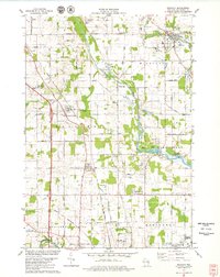
1978 · Mishicot
USGS Topo · 1:24,000
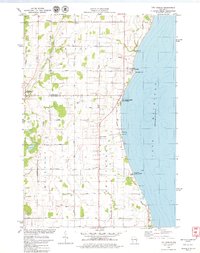
1978 · Two Creeks
USGS Topo · 1:24,000