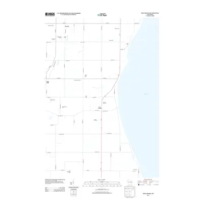
2013 Map of Two Creeks
USGS Topo · Published 2013About this map
The agricultural landscape of Manitowoc County is defined by a dense network of family-operated dairies and farms along the shoreline of Lake Michigan. Small hubs like Norman and Two Creeks anchor a grid of rural roads, while the unincorporated community of Tisch Mills sits on the western edge. The map captures the prominence of dairy production in this region, identifying numerous operations such as Morning Glory Dairy, Clay Valley Dairy Farms, and the Half Half Dairy Farm.
Find a feature on this map
47 named features on this map. Tap any name to fly to it.
Don’t see what you’re looking for? This feature index may not catch every label — zoom into the map to look around manually.
Map Details
Editions of this 2013 Two Creeks Map
This is the sole edition of this map. No revisions or reprints were ever made.
Other maps of this area

1954 · Kewaunee
USGS Topo · 1:62,500

1954 · Manitowoc
USGS Topo · 1:62,500

1954 · Manitowoc
USGS Topo · 1:250,000

1958 · Manitowoc
USGS Topo · 1:250,000
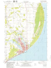
1978 · Two Rivers
USGS Topo · 1:24,000

1978 · Stangelville
USGS Topo · 1:24,000
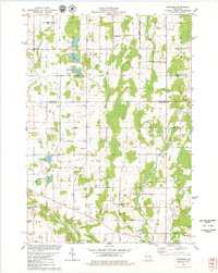
1978 · Larrabee
USGS Topo · 1:24,000
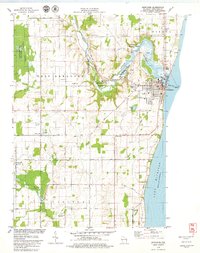
1978 · Kewaunee
USGS Topo · 1:24,000
1978 · Mishicot
USGS Topo · 1:24,000
1978 · Two Creeks
USGS Topo · 1:24,000