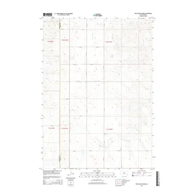
2015 Map of Two Nation Creek
USGS Topo · Published 2015About this map
The boundary between Mellette Co and Tripp Co bisects this prairie landscape, where the geography is defined by a grid of rural section roads and winding watercourses. Two Nation Creek dominates the southern half of the quadrangle, meandering through the open rangeland while Little Dog Creek and Cottonwood Creek drain the northern reaches. The area is marked by a strict rectilinear transportation network, with roads such as 264th St and 297th Ave serving as the primary infrastructure for the remote ranching and agricultural lands. This survey reflects the enduring influence of the Public Land Survey System, showing how township boundaries like t102n r78w continue to organize the South Dakota interior in the twenty-first century.
Find a feature on this map
22 named features on this map. Tap any name to fly to it.
Don’t see what you’re looking for? This feature index may not catch every label — zoom into the map to look around manually.
Map Details
Editions of this 2015 Two Nation Creek Map
This is the sole edition of this map. No revisions or reprints were ever made.
Other maps of this area

1951 · Badnation
USGS Topo · 1:24,000

1951 · Presho 4 NE
USGS Topo · 1:24,000

1951 · Presho 4 NW
USGS Topo · 1:24,000

1955 · Martin
USGS Topo · 1:250,000

1958 · Martin
USGS Topo · 1:250,000

1982 · Presho 4 SE
USGS Topo · 1:25,000

1982 · Two Nation Creek
USGS Topo · 1:25,000

1982 · Badnation SE
USGS Topo · 1:25,000

1982 · Witten
USGS Topo · 1:25,000
1982 · Carter
USGS Topo · 1:25,000