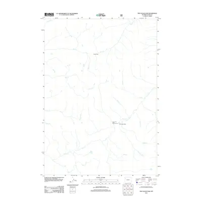
2012 Map of Two Ocean Pass
USGS Topo · Published 2012About this map
The Parting of the Waters Natural Landmark is the defining geographic curiosity of this area, located exactly at Two Ocean Pass. At this specific site, a single stream bifurcates, sending water toward both the Atlantic and Pacific oceans via Atlantic Cr and Pacific Cr. This rare hydrographic phenomenon is situated in a high-elevation drainage divide within Teton County, where the headwaters of numerous creeks like Mink Cr, Falcon Cr, and Snowslide Cr converge. The landscape is characterized by its complex network of high-country tributaries, including S Two Ocean Cr and Camp Cr, which drain the surrounding slopes and passes. Further north, the Snake River cuts through the terrain, while travelers move through the high gaps of Phelps Pass, marking this as a critical junction for water and transit across the Continental Divide.
Find a feature on this map
18 named features on this map. Tap any name to fly to it.
Don’t see what you’re looking for? This feature index may not catch every label — zoom into the map to look around manually.
Map Details
Editions of this 2012 Two Ocean Pass Map
This is the sole edition of this map. No revisions or reprints were ever made.
Other maps of this area

1885 · Lake
USGS Topo · 1:125,000

1895 · Lake
USGS Topo · 1:125,000

1896 · Lake
USGS Topo · 1:125,000

1901 · Lake
USGS Topo · 1:125,000

1902 · Mt Leidy
USGS Topo · 1:125,000

1906 · Lake
USGS Topo · 1:125,000

1911 · Lake
USGS Topo · 1:125,000

1955 · Ashton
USGS Topo · 1:250,000

1955 · Driggs
USGS Topo · 1:250,000

1958 · Driggs
USGS Topo · 1:250,000