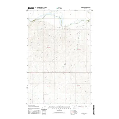
2017 Map of Twomile Creek
USGS Topo · Published 2017About this map
The Missouri River defines the northern landscape of this region, carving a wide valley that serves as the natural boundary between Roosevelt Co and Richland Co. This 2017 survey captures a remote stretch of northeastern Montana where the land rises from the riverbanks into a complex system of drainage coulees and ridges. Tributaries such as Twomile Cr and Cedar Cr intersect the northern reaches, while the southern terrain is marked by E Charlie Cr and Dugout Cr. The area is sparsely settled, characterized primarily by a grid of rural routes including Co Rd 152 and Co Rd 146 that navigate the varied elevations and section lines of the Public Land Survey System.
Find a feature on this map
17 named features on this map. Tap any name to fly to it.
Don’t see what you’re looking for? This feature index may not catch every label — zoom into the map to look around manually.
Map Details
Editions of this 2017 Twomile Creek Map
This is the sole edition of this map. No revisions or reprints were ever made.
Other maps of this area

1909 · Glendive
USGS Topo · 1:250,000

1914 · Brockton
USGS Topo · 1:62,500

1948 · Fort Kipp
USGS Topo · 1:24,000

1949 · Fort Kipp
USGS Topo · 1:24,000

1950 · Calais
USGS Topo · 1:24,000

1954 · Glendive
USGS Topo · 1:250,000

1954 · Wolf Point
USGS Topo · 1:250,000

1957 · Glendive
USGS Topo · 1:250,000

1958 · Wolf Point
USGS Topo · 1:250,000

1958 · Glendive
USGS Topo · 1:250,000