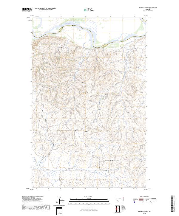
2024 Map of Twomile Creek
USGS Topo · Published 2024About this map
The Missouri River forms a significant geographical boundary at the northern edge of this Montana quadrangle, dividing Roosevelt County and Richland County. The landscape south of the river is defined by a dense network of drainage systems, including the namesake Twomile Creek and Cedar Creek, which carve through the high plains toward the river valley. This recent survey illustrates a rural region primarily organized by the Public Land Survey System, with township lines for t27n r55e and t26n r55e providing the structural framework for the local road network. Secondary routes like Co Rd 152 and Co Rd 146 connect the remote drainage basins of East Charlie Creek and Dugout Creek, reflecting the modern infrastructure of this eastern Montana ranching and agricultural corridor.
Find a feature on this map
15 named features on this map. Tap any name to fly to it.
Don’t see what you’re looking for? This feature index may not catch every label — zoom into the map to look around manually.
Map Details
Editions of this 2024 Twomile Creek Map
This is the sole edition of this map. No revisions or reprints were ever made.
Other maps of this area

1909 · Glendive
USGS Topo · 1:250,000

1914 · Brockton
USGS Topo · 1:62,500

1948 · Fort Kipp
USGS Topo · 1:24,000

1949 · Fort Kipp
USGS Topo · 1:24,000

1950 · Calais
USGS Topo · 1:24,000

1954 · Glendive
USGS Topo · 1:250,000

1954 · Wolf Point
USGS Topo · 1:250,000

1957 · Glendive
USGS Topo · 1:250,000

1958 · Wolf Point
USGS Topo · 1:250,000

1958 · Glendive
USGS Topo · 1:250,000