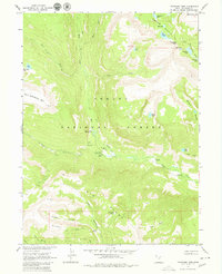
1967 Map of Tworoose Pass
USGS Topo · Published 1980About this map
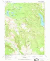
Ashley National Forest dominates this mountain landscape, which was photogrammetrically surveyed in the mid-1960s. The region is defined by the high-elevation topography of the Uinta Mountains, including the prominent East Grandaddy Mtn and the gateway of Tworoose Pass. Waters from the West Fork and East Fork Rock Creek converge near the isolated Rock Creek Ranch, a rare point of private settlement amidst the public lands. Recreation and resource management infrastructure is evident through the placement of the Upper Stillwater Campground, South Fork Campground, and Gaging Station sites along the river corridors.
Find a feature on this map
42 named features on this map. Tap any name to fly to it.
Don’t see what you’re looking for? This feature index may not catch every label — zoom into the map to look around manually.
Map Details
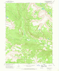
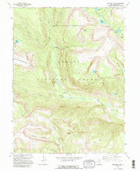
Editions of this 1967 Tworoose Pass Map
3 editions found
Other maps of this area

1885 · Uinta
USGS Topo · 1:250,000

1901 · Hayden Peak
USGS Topo · 1:125,000

1903 · Hayden Peak
USGS Topo · 1:125,000

1954 · Salt Lake City
USGS Topo · 1:250,000

1958 · Salt Lake City
USGS Topo · 1:250,000

1960 · Salt Lake City
USGS Topo · 1:250,000

1962 · Hanna
USGS Topo · 1:24,000

1962 · Dry Mountain
USGS Topo · 1:24,000
1962 · Farm Creek Peak
USGS Topo · 1:24,000
1967 · Kidney Lake
USGS Topo · 1:24,000