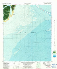
1979 Map of Tybee Island South
USGS Topo · Published 1979About this map
Tybee Island and its shifting coastline are documented here during a period of significant environmental management in the late 1970s. This orthophotomap combines aerial imagery with bathymetric data to illustrate the delicate relationship between the land and the Atlantic Ocean. A prominent feature of this era is the Beach Renourished 1976 project, an engineering effort visible along the eastern shoreline designed to combat erosion.
Find a feature on this map
9 named features on this map. Tap any name to fly to it.
Don’t see what you’re looking for? This feature index may not catch every label — zoom into the map to look around manually.
Map Details
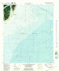
Editions of this 1979 Tybee Island South Map
2 editions found
Other maps of this area

1920 · Wassaw Sound
USGS Topo · 1:62,500

1920 · Hilton Head
USGS Topo · 1:62,500

1920 · Bluffton
USGS Topo · 1:62,500

1945 · Bluffton
USGS Topo · 1:62,500

1945 · Hilton Head
USGS Topo · 1:62,500

1945 · Wassaw Sound
USGS Topo · 1:62,500

1946 · Brunswick
USGS Topo · 1:250,000

1947 · Savannah
USGS Topo · 1:250,000

1948 · Brunswick
USGS Topo · 1:250,000

1948 · Savannah
USGS Topo · 1:250,000