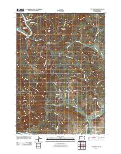
2011 Map of Tyee Mountain
USGS Topo · Published 2011About this map
Tyee Mountain and its surrounding peaks dominate this landscape in Douglas County, where the Umpqua River winds past Camp Tyee and beneath Bullock Bridge. The terrain is defined by a series of steep ridges and deep drainages, including Spooner Ridge and Galagher Canyon, which demonstrate the challenging geography of the Coast Range. In the southeastern corner, the settlement of Stephens sits near the confluence of Coon Creek and Calapooya Creek, marking a transition toward more accessible valley floors. Genealogists and local historians will find significant value in the documentation of the Tyee View Cemetery and the Hurst Family Cemetery, while the presence of the Tyee Mountain Recreation Area highlights the modern transition of these timber-rich lands into spaces for public use.
Find a feature on this map
48 named features on this map. Tap any name to fly to it.
Don’t see what you’re looking for? This feature index may not catch every label — zoom into the map to look around manually.
Map Details
Editions of this 2011 Tyee Mountain Map
This is the sole edition of this map. No revisions or reprints were ever made.
Other maps of this area

1897 · Roseburg
USGS Topo · 1:125,000

1900 · Roseburg
USGS Topo · 1:125,000
1928 · Sitkum
USGS Topo · 1:125,000
1954 · Sutherlin
USGS Topo · 1:62,500
1954 · Drain
USGS Topo · 1:62,500
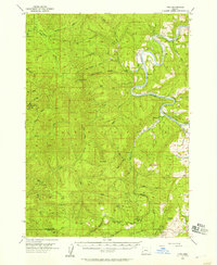
1955 · Tyee
USGS Topo · 1:62,500
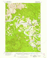
1955 · Elkton
USGS Topo · 1:62,500

1958 · Roseburg
USGS Topo · 1:250,000

1959 · Roseburg
USGS Topo · 1:250,000
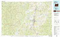
1979 · Roseburg
USGS Topo · 1:100,000